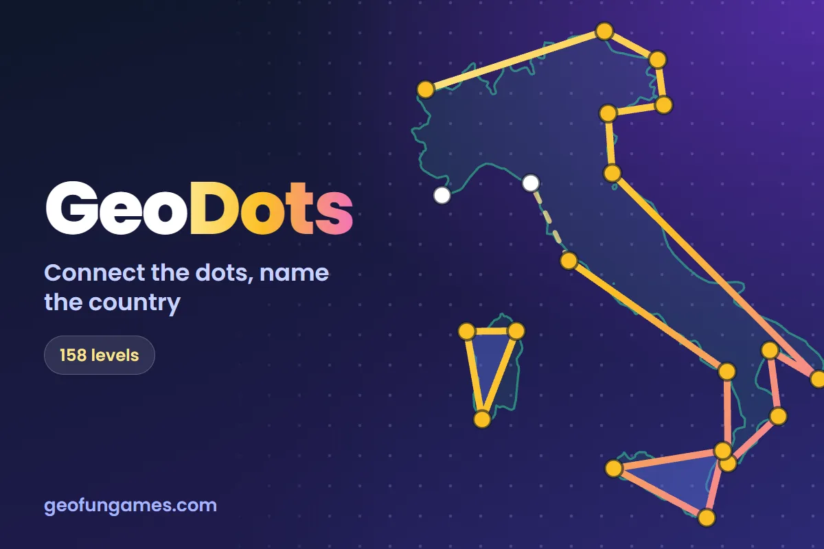
Our new game GeoDots is connect the dots for geography: 10 to 26 dots sit on the real border and coastline of a mystery country. Join them in the right order, the shape appears, and then you name it.
The dots tell you where the border goes, but not in which order. So you need to know which bays, peninsulas and islands belong together.
How it works
- Tap one dot, then the next, or drag across several to join them fast. Islands get their own shape.
- Tap the pulsing dot to close the shape. Wrong line? Tap it to remove it and carry on from there.
- Press Done, name it and pick the country from the list.
- The real border is then drawn over your sketch: the lines you got wrong in red, the right path in white.
158 levels, three stars each
Every country in the game is a level, in five bands from Easy to Master. Easy levels are the famous shapes like Italy and Chile. Master levels are small countries and borders only map experts know, with 8 names to choose from and no hint.
All lines right earns 3 stars, at least 80% right earns 2, and naming the country earns 1. Each try gives you a random country from the band that you have not beaten yet.
Free, with points for your rank
GeoDots is free, needs no account and plays well on a phone. With a free account your progress is saved on every device and each level you clear earns points towards your explorer rank.
Want to study the shapes first? Have a look at our world maps, or test yourself with Name the Countries.