
Geo Split
Draw one line across a country so the right share lands on one side. Split its land, or split its people: the same country gives two very different answers.
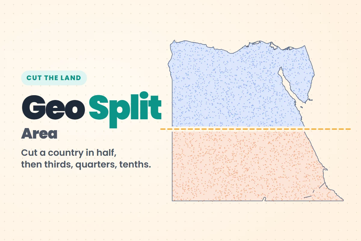 Cut the land
Geo Split: Area
One straight cut per country. Slice it so the right share of its land ends up on one side: a half, a third, a quarter, then just a tenth. Play →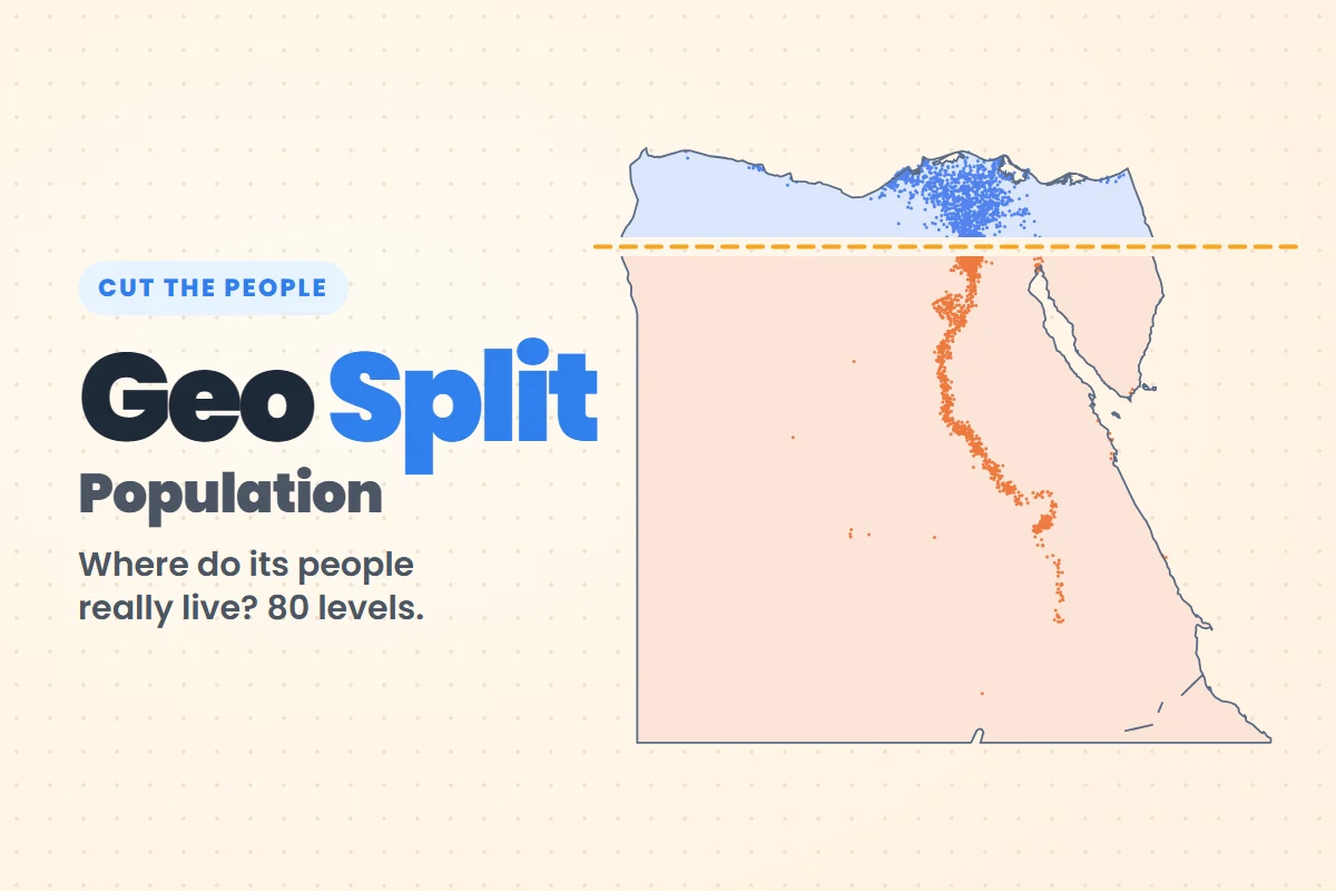 Cut the people
Geo Split: Population
One straight cut per country. Slice it so the right share of its people ends up on one side. Big empty deserts count for nothing here. Play →How Geo Split works
- 1
Pick a game and a level: each level is one country and a target, from a half down to a tenth.
- 2
Drag one straight line across the map. Move either end until you think the split is right.
- 3
Cut and see the real shares, a gold line for the perfect cut and how many stars you earned.
Area or Population?
Why two games?
Cut Egypt in half by area and your line crosses empty desert. Cut it in half by people and it has to go through the Nile, where almost everyone lives. Start with Area to learn the shapes, then try Population to see where people really live.
Did you know?
- About 95% of Egyptians live on the Nile valley and delta, a small part of the country's land.
- About two thirds of Canadians live within 100 km of the border with the United States.
- Almost half of Mongolia's people live in one city, Ulaanbaatar.
- Most Australians live close to the coast, so a cut through the empty middle barely moves the share.
Geo Split questions
Which Geo Split game should I play first?
Start with Area. It teaches you to read country shapes, and its first 40 levels are free. Population is harder because you need to know where the big cities are.
Are the two games the same levels?
Yes, both play the same 80 countries in the same order, so you can compare: a cut that halves the land is often far from the cut that halves the people.
Is Geo Split free?
Yes. Area has 40 free levels and Population 20. More levels open with a free account, and the hardest ones are part of GeoFun+.
Population: GHSL GHS-POP 2025 (European Commission, Joint Research Centre), CC BY 4.0. Borders and cities: Natural Earth. Far-off islands and overseas territories are left out.