Guess the City in Canada
Can you identify Canada cities from a satellite image? Each wrong guess zooms the view out further.
Guesses left: 5
Start typing a city name and select from the suggestions that appear.
Previous guesses
Your guesses will appear here
1.
2.
3.
4.
5.
Select a Level
About "Guess the City in Canada"
A satellite image of a Canada city appears zoomed in close. Each wrong guess zooms the view out further - revealing more of the surrounding landscape until you recognize the location. An aerial challenge set across Canada, a North American country with a population of 38 million and covering 9,984,670 km².
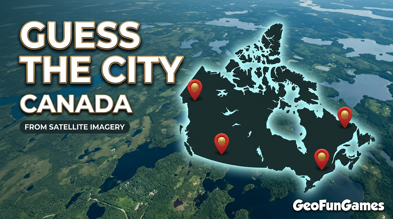
How the game works:
- A satellite image appears zoomed in on a mystery Canada city
- Each wrong guess zooms the view out, showing more of the surroundings
- Identify the city from the aerial image before your guesses run out
- The fewer guesses you need, the better your score
Game benefits:
- Trains visual recognition of cities from satellite imagery
- Builds knowledge of Canada geography and urban layout
- A unique aerial challenge unlike a standard map quiz
- Fun for travelers, map enthusiasts, and geography fans
💡 Tip: Look at the landscape for clues - natural features, terrain, and coastlines can help you narrow down the location before the view zooms out. Notable cities in Canada include Toronto, Montreal, Vancouver.
Looking for More Fun?
Try these other exciting games!