






Road clues · Road lines Line Spotter
Yellow or white, solid or dashed, in the middle or along the edge: the paint on a road says a lot about where you are. Look at the lines, pick the country, and learn the clue that gives it away.
Learner Levels 1-6
Free ⭐ 0 / 18Open to everyone. Finish a level to open the next one.
Spotter Levels 7-10
Free account ⭐ 0 / 12Sign in for the double lines, the edge lines and the look-alike levels, and keep your stars on every device.
Expert Levels 11-12
GeoFun+ ⭐ 0 / 6Faint lines that take real looking, and every country mixed together.
Which country is this?
Look at the colour of the lines, whether they are solid or dashed, and where they run.
Free account levels
Levels 7-10, including the France or the Netherlands and Ireland or the UK look-alikes, need a free account. It also keeps your stars on every device.
Create a free account I already have an accountGeoFun+ levels
Levels 11-12 are for GeoFun+ players: tight close-ups and every country mixed.
About GeoFun+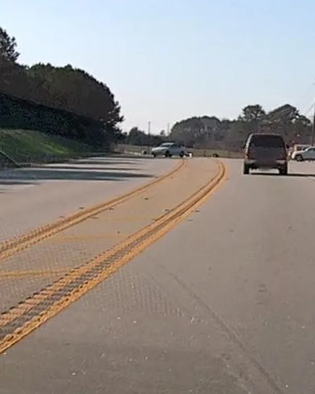



Every line clue, country by country
Stuck on a country? The Learn pages show the tells for all 15 countries, with 167 real photos ringed on the line. Read a country, then come back and beat the level.
Open the line guide →How to play Line Spotter
- 1
Look at the photo
Each level shows 6 real road photos from around the world.
- 2
Pick the country
Choose the country from the answers. Only one is right.
- 3
Learn the clue
Wrong? The photo zooms in on the line that gives it away. Open the Learn card for the full story.
- 4
Earn stars
All right is 3 stars, one miss 2, at least half 1. New stars earn points.
Why road lines?
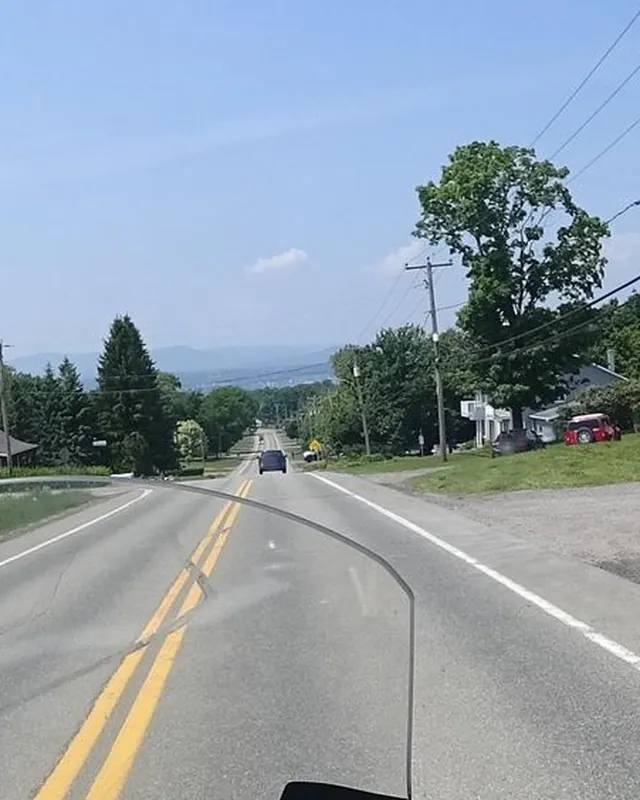
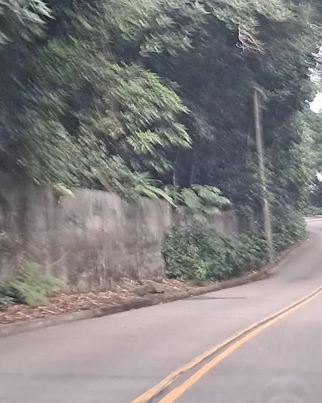
The paint on a road is one of the quickest clues in street photos, because it is right in front of you. North and South America use yellow down the middle, Norway does too, Ireland paints its edges yellow, Japan has orange centre lines, and the Netherlands often has dashes along both edges and nothing in the middle.
Line Spotter teaches those clues one photo at a time, from bold double yellows to look-alikes like France and the Netherlands. 12 levels, 15 countries, real road photos.
- 12levels
- 15countries
- 167photos
- 3stars per level
More clue games Geo Clues →
Frequently asked questions
Is Line Spotter free?
Yes. Levels 1-6 are free for everyone. Levels 7-10 need a free account, and levels 11-12 are for GeoFun+ players.
Does this help with GeoGuessr?
Yes. Road lines are a classic GeoGuessr clue: a yellow centre line, a dashed yellow edge or an orange line can narrow the country down in a second. Line Spotter trains you to read them quickly.
Which countries have yellow lines down the middle of the road?
In this game: the United States, Canada, Mexico, Brazil, Argentina, Norway and Thailand. Japan uses orange. Most of Europe paints the centre line white.
Where do the photos come from?
From Mapillary, under the CC BY-SA 4.0 licence. Every photo shows its author, and the full list of credits is below the game.
How do stars and points work?
All right earns 3 stars, one miss 2, at least half 1. You earn points for each new star, so replaying a level for the same stars earns nothing extra.
Photo credits
Photos from Mapillary, cropped, under CC BY-SA 4.0 (crops are shared under the same licence).
- abcourier01 (Mapillary), CC BY-SA 4.0
- abcourier01 (Mapillary), CC BY-SA 4.0
- adamdunn (Mapillary), CC BY-SA 4.0
- and987 (Mapillary), CC BY-SA 4.0
- bct (Mapillary), CC BY-SA 4.0
- bct (Mapillary), CC BY-SA 4.0
- bct (Mapillary), CC BY-SA 4.0
- bct (Mapillary), CC BY-SA 4.0
- blup (Mapillary), CC BY-SA 4.0
- cairo (Mapillary), CC BY-SA 4.0
- catoandersen (Mapillary), CC BY-SA 4.0
- catoandersen (Mapillary), CC BY-SA 4.0
- chill (Mapillary), CC BY-SA 4.0
- Cynomops (Mapillary), CC BY-SA 4.0
- DanielRguez14 (Mapillary), CC BY-SA 4.0
- DataJan (Mapillary), CC BY-SA 4.0
- DataJan (Mapillary), CC BY-SA 4.0
- drivephotograph (Mapillary), CC BY-SA 4.0
- drivephotograph (Mapillary), CC BY-SA 4.0
- drivephotograph (Mapillary), CC BY-SA 4.0
- drivephotograph (Mapillary), CC BY-SA 4.0
- edc22 (Mapillary), CC BY-SA 4.0
- eneerhut (Mapillary), CC BY-SA 4.0
- eneerhut (Mapillary), CC BY-SA 4.0
- enzostana (Mapillary), CC BY-SA 4.0
- enzostana (Mapillary), CC BY-SA 4.0
- erias (Mapillary), CC BY-SA 4.0
- Fixtor (Mapillary), CC BY-SA 4.0
- Fixtor (Mapillary), CC BY-SA 4.0
- jacekb (Mapillary), CC BY-SA 4.0
- jacekb (Mapillary), CC BY-SA 4.0
- JingyuanL (Mapillary), CC BY-SA 4.0
- jonrellim (Mapillary), CC BY-SA 4.0
- jonrellim (Mapillary), CC BY-SA 4.0
- jonrellim (Mapillary), CC BY-SA 4.0
- jopparn (Mapillary), CC BY-SA 4.0
- jopparn2 (Mapillary), CC BY-SA 4.0
- jrcarlsen (Mapillary), CC BY-SA 4.0
- juzza (Mapillary), CC BY-SA 4.0
- kaart5 (Mapillary), CC BY-SA 4.0
- Kaart_Local (Mapillary), CC BY-SA 4.0
- Kaart_Local (Mapillary), CC BY-SA 4.0
- Kaart_Local (Mapillary), CC BY-SA 4.0
- Kaart_Local (Mapillary), CC BY-SA 4.0
- Kaart_Local (Mapillary), CC BY-SA 4.0
- karlis (Mapillary), CC BY-SA 4.0
- kino (Mapillary), CC BY-SA 4.0
- kino (Mapillary), CC BY-SA 4.0
- laye (Mapillary), CC BY-SA 4.0
- laye (Mapillary), CC BY-SA 4.0
- lordsutch (Mapillary), CC BY-SA 4.0
- lvl5 (Mapillary), CC BY-SA 4.0
- lvl5 (Mapillary), CC BY-SA 4.0
- mackerski (Mapillary), CC BY-SA 4.0
- mackerski (Mapillary), CC BY-SA 4.0
- mackerski (Mapillary), CC BY-SA 4.0
- madel (Mapillary), CC BY-SA 4.0
- Malu25 (Mapillary), CC BY-SA 4.0
- marikocco (Mapillary), CC BY-SA 4.0
- marker_geo (Mapillary), CC BY-SA 4.0
- marker_geo (Mapillary), CC BY-SA 4.0
- marker_geo (Mapillary), CC BY-SA 4.0
- marker_geo (Mapillary), CC BY-SA 4.0
- meloentje (Mapillary), CC BY-SA 4.0
- meloentje (Mapillary), CC BY-SA 4.0
- meloentje (Mapillary), CC BY-SA 4.0
- michelcouturemotomcm (Mapillary), CC BY-SA 4.0
- michelcouturemotomcm (Mapillary), CC BY-SA 4.0
- michelcouturemotomcm (Mapillary), CC BY-SA 4.0
- michelcouturemotomcm (Mapillary), CC BY-SA 4.0
- michelcouturemotomcm (Mapillary), CC BY-SA 4.0
- michelcouturemotomcm (Mapillary), CC BY-SA 4.0
- michelcouturemotomcm (Mapillary), CC BY-SA 4.0
- michelcouturemotomcm (Mapillary), CC BY-SA 4.0
- mly_la (Mapillary), CC BY-SA 4.0
- mly_la (Mapillary), CC BY-SA 4.0
- mphathaway (Mapillary), CC BY-SA 4.0
- mszilas (Mapillary), CC BY-SA 4.0
- mszilas (Mapillary), CC BY-SA 4.0
- mszilas (Mapillary), CC BY-SA 4.0
- MuitoAlemdasFronteiras (Mapillary), CC BY-SA 4.0
- MuitoAlemdasFronteiras (Mapillary), CC BY-SA 4.0
- MuitoAlemdasFronteiras (Mapillary), CC BY-SA 4.0
- MuitoAlemdasFronteiras (Mapillary), CC BY-SA 4.0
- MuitoAlemdasFronteiras (Mapillary), CC BY-SA 4.0
- MuitoAlemdasFronteiras (Mapillary), CC BY-SA 4.0
- mweper (Mapillary), CC BY-SA 4.0
- mweper (Mapillary), CC BY-SA 4.0
- mweper (Mapillary), CC BY-SA 4.0
- mweper (Mapillary), CC BY-SA 4.0
- Neo0717 (Mapillary), CC BY-SA 4.0
- noelb (Mapillary), CC BY-SA 4.0
- noelb (Mapillary), CC BY-SA 4.0
- ottor (Mapillary), CC BY-SA 4.0
- ottor (Mapillary), CC BY-SA 4.0
- parond (Mapillary), CC BY-SA 4.0
- peterleth (Mapillary), CC BY-SA 4.0
- peterleth (Mapillary), CC BY-SA 4.0
- peterleth (Mapillary), CC BY-SA 4.0
- plan_c (Mapillary), CC BY-SA 4.0
- ptks (Mapillary), CC BY-SA 4.0
- publicmind (Mapillary), CC BY-SA 4.0
- railorama (Mapillary), CC BY-SA 4.0
- railorama (Mapillary), CC BY-SA 4.0
- railorama (Mapillary), CC BY-SA 4.0
- roadexplorer001 (Mapillary), CC BY-SA 4.0
- roadexplorer001 (Mapillary), CC BY-SA 4.0
- roadexplorer001 (Mapillary), CC BY-SA 4.0
- roadroid (Mapillary), CC BY-SA 4.0
- roadroid (Mapillary), CC BY-SA 4.0
- roadroid (Mapillary), CC BY-SA 4.0
- roadroid (Mapillary), CC BY-SA 4.0
- roadroid (Mapillary), CC BY-SA 4.0
- roadroid (Mapillary), CC BY-SA 4.0
- ronbo7769 (Mapillary), CC BY-SA 4.0
- russmcd (Mapillary), CC BY-SA 4.0
- russmcd (Mapillary), CC BY-SA 4.0
- Satsuka_Osaka (Mapillary), CC BY-SA 4.0
- signout (Mapillary), CC BY-SA 4.0
- southglos (Mapillary), CC BY-SA 4.0
- southglos (Mapillary), CC BY-SA 4.0
- southglos (Mapillary), CC BY-SA 4.0
- southglos (Mapillary), CC BY-SA 4.0
- stefanritt (Mapillary), CC BY-SA 4.0
- stephanep (Mapillary), CC BY-SA 4.0
- stephanep (Mapillary), CC BY-SA 4.0
- stephanep (Mapillary), CC BY-SA 4.0
- stephanep (Mapillary), CC BY-SA 4.0
- stephanep (Mapillary), CC BY-SA 4.0
- stephanep (Mapillary), CC BY-SA 4.0
- stephanep (Mapillary), CC BY-SA 4.0
- stephanep (Mapillary), CC BY-SA 4.0
- strudel (Mapillary), CC BY-SA 4.0
- ThailandCambodia (Mapillary), CC BY-SA 4.0
- ThailandCambodia (Mapillary), CC BY-SA 4.0
- ThailandCambodia (Mapillary), CC BY-SA 4.0
- ThailandCambodia (Mapillary), CC BY-SA 4.0
- ThailandCambodia (Mapillary), CC BY-SA 4.0
- ThailandCambodia (Mapillary), CC BY-SA 4.0
- ThailandCambodia (Mapillary), CC BY-SA 4.0
- ThailandCambodia (Mapillary), CC BY-SA 4.0
- ThailandCambodia (Mapillary), CC BY-SA 4.0
- ThailandCambodia (Mapillary), CC BY-SA 4.0
- thewizard (Mapillary), CC BY-SA 4.0
- thewizard (Mapillary), CC BY-SA 4.0
- thewizard (Mapillary), CC BY-SA 4.0
- thewizard (Mapillary), CC BY-SA 4.0
- thewizard (Mapillary), CC BY-SA 4.0
- thewizard (Mapillary), CC BY-SA 4.0
- thewizard (Mapillary), CC BY-SA 4.0
- tobidi (Mapillary), CC BY-SA 4.0
- toho (Mapillary), CC BY-SA 4.0
- toho (Mapillary), CC BY-SA 4.0
- tom_g3x (Mapillary), CC BY-SA 4.0
- tom_g3x (Mapillary), CC BY-SA 4.0
- tom_g3x (Mapillary), CC BY-SA 4.0
- tom_g3x (Mapillary), CC BY-SA 4.0
- tr4sk (Mapillary), CC BY-SA 4.0
- xe1gyp (Mapillary), CC BY-SA 4.0
- xe1gyp (Mapillary), CC BY-SA 4.0
- xe1gyp (Mapillary), CC BY-SA 4.0
- xe1gyp (Mapillary), CC BY-SA 4.0
- xe1gyp (Mapillary), CC BY-SA 4.0
- yannakis (Mapillary), CC BY-SA 4.0
- yannakis (Mapillary), CC BY-SA 4.0
- yannakis (Mapillary), CC BY-SA 4.0
- yasunari (Mapillary), CC BY-SA 4.0