
GeoAzimuth Brazil - Find the Hidden City by Compass Bearing
The Compass City Game
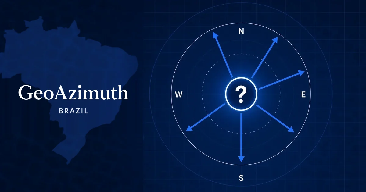
A hidden city sits in the middle of the compass. Every arrow points from it to a real city, at its true bearing.
Read the angles, name the city. Five tries, and every wrong guess becomes another arrow.
About GeoAzimuth Brazil
Most of the big cities in Brazil line the Atlantic coast, so from the interior almost every arrow points east. The pack reaches deep into the Amazon as far as Tabatinga and Cruzeiro do Sul, Fernando de Noronha sits far out in the Atlantic, and the Master band runs from Oiapoque on the French Guiana border to Chuí on the Uruguayan border.
- Cities
- 160
- Levels
- 100
- Northernmost
- Pacaraima
- Southernmost
- Chuí
- Farthest apart
- Cruzeiro do Sul - Fernando de Noronha (4,472 km)
- Closest pair
- Blumenau - Pomerode (23 km)
- Most isolated
- São Gabriel da Cachoeira (445 km)
Brazil - the compass from the middle
Stand at the centre point of the pack (14.8°S, 48.6°W) and this is the direction and distance to its best-known cities:
- FortalezaNE (43°)1,652 km
- SalvadorE (81°)1,111 km
- BrasíliaSE (145°)138 km
- Rio de JaneiroSE (149°)1,069 km
- São PauloS (168°)998 km
Frequently asked questions
How many cities are in GeoAzimuth Brazil?
The Brazil pack has 160 cities and 100 levels in 5 difficulty bands. Each level hides one city from its band, and a new one is drawn every time you try again.
Which cities in the Brazil pack are farthest apart?
Cruzeiro do Sul and Fernando de Noronha, 4,472 km apart. The closest pair is Blumenau and Pomerode, just 23 km apart - neighbours like these are what make the harder bands tricky.
Ready to find your bearings?
Pick a level and name the hidden city.
The map is centred on the hidden city, so every line keeps its true bearing and distance.
🧭 Why do some arrows look bent? Learn about great-circle routes →